
As a warm-up for a hike of Mt Kenya’s Sirimon and Chogoria Routes in March 2021, I spent a weekend in the Aberdares National Park with friends. We set out as a group of five to hike Elephant Hill and then - weather and wellness depending - to continue on to Mt Kinangop. At 3,906 meters (12,815 feet) Kinangop is the second highest point in the Aberdares, after Mount Satima in the north. I’d hike Elephant Hill several times, but never continued past it to Kinangop. We knew it’d be a long day so we set out before first light.
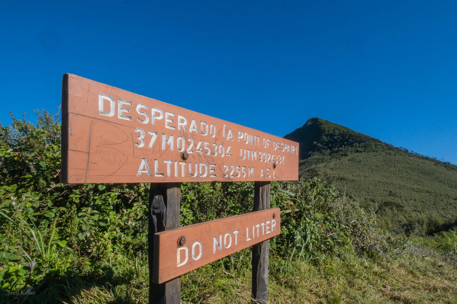
The “point of despair”, where you first get good views above tree line and realize how far you are from the summit. In reality, a lot of people try to do Elephant Hill as a day trip from Nairobi, and if you don’t get an early start you might get to this point - after which there is less shade - just as the day is getting very hot. If you’re not to this point by 8 or 9am, you won’t be up to the summit or Kinangop and back by dark.

Not despairing, yet.

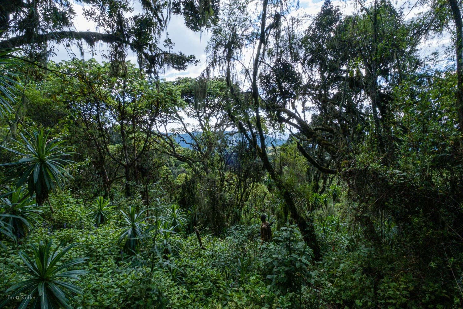
My favorite section of trees on the way up. The hike to Elephant Hill gains a lot of altitude, so you go through several distinctive types of flaura.


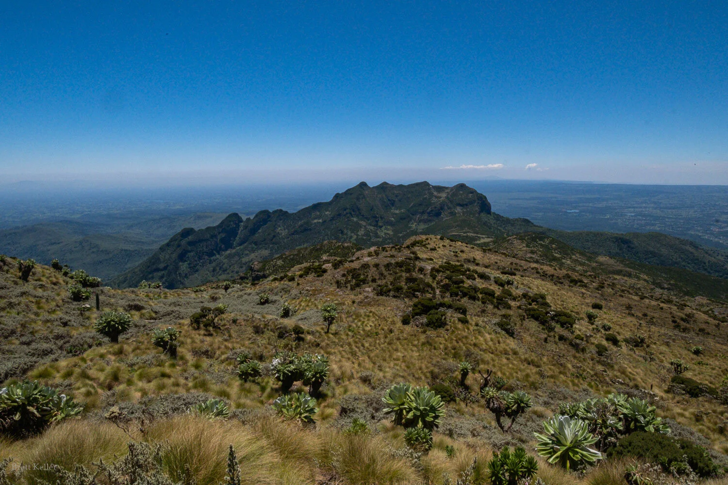
We had extremely clear skies, giving us views all the way across to Mt Kenya - where we’d be hiking in just one more week!
Three of our group summited Elephant Hill and decided to head back to camp, while M and I continued up to Kinangop with our excellent ranger guide, Philemon.
More views of Mt Kenya across the valley on the way up:


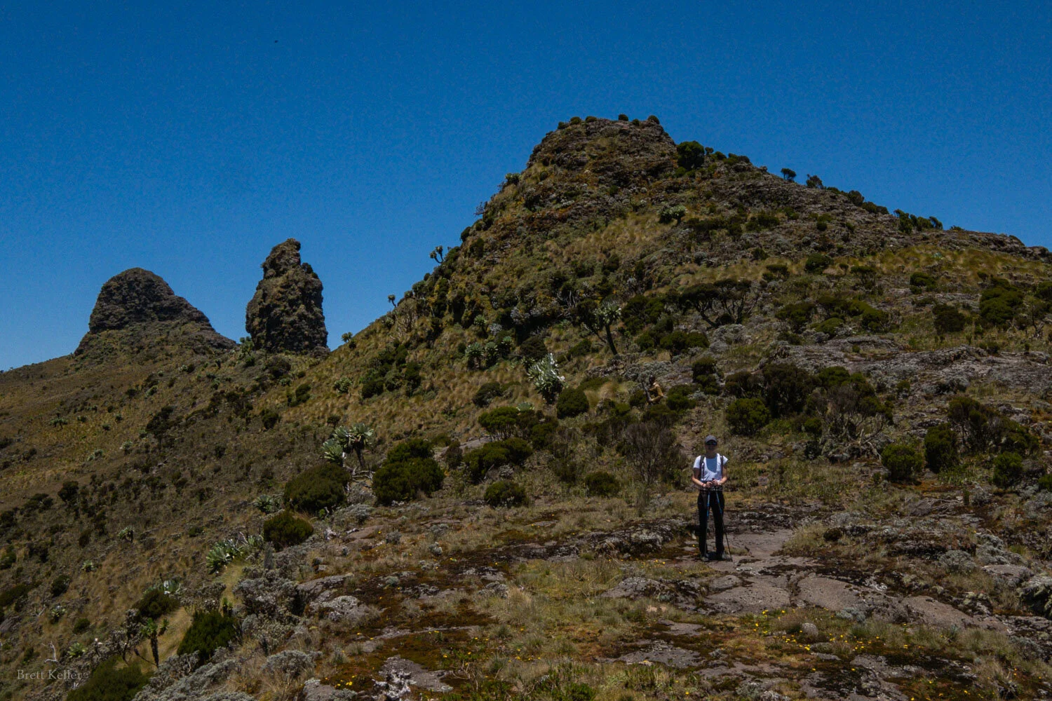
The final summit of Kinangop has three “knobs”, pictured here. The true summit is the final one. You can walk around them to the right (east).

The middle of three summit knobs
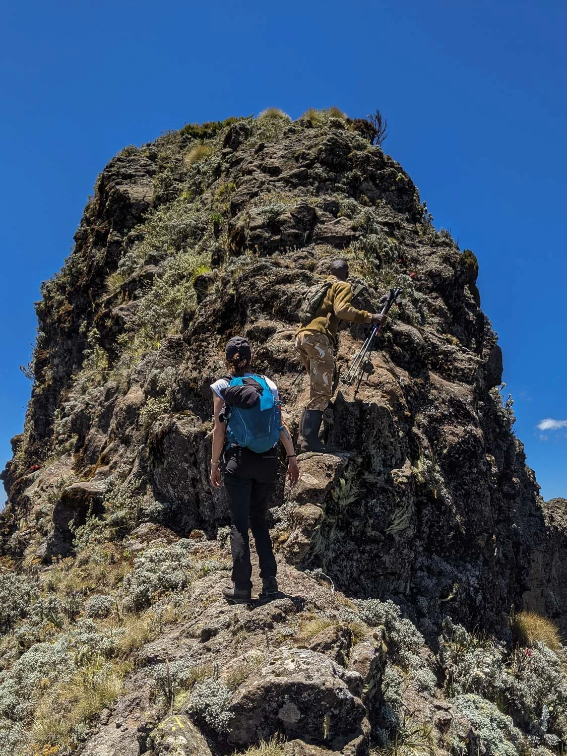
The final summit knob - this is approaching it from the southern (Elephant Hill) side, which is substantially steeper than the north side. If you want a more gradual approach, you can walk around and hike up the north side, though you’ll need to use your hands either way - from the south it’s mostly holding onto rock, from the north it’s holding onto giant tussocks of grass.

It doesn’t look quite as steep looking back down…
A few photos from the summit:


On the summit of Mt Kinangop

We descended via the Mutarakwa forest station route, rather than back the way we came. This saves probably 1-2 hrs hiking time, and the need to go back up the saddle to Elephant Hill, but also requires arranging transport back to Njabini Gate (where the Elephant Hill hike normally starts) if you need to return there.

Our ranger Philemon saw one (live) elephant far in the distance, but we couldn’t make it out. But we saw plenty of elephant droppings and footprints, this one elephant skull, and lots of sign of buffalo as well.


Hiking down the Mutarakwa side, for part of the path we were stepping around elephant footprints like this one.

The lower forest on the Mutarakwa side is very beautiful


